| |
2/24 Holden,
MO
Observed
a tornado near Holden, MO. Began the day working the radar at the FO
before getting off just before 5pm. The day was characterized by a decent
cold core setup with a vigorous closed off low traversing central Kansas
and favorable positioning of the associated sfc low. The severe threat
was questionable as the afternoon progressed as a lack of clearing ahead
of the line of convection limited the available Cape for vigorous low
level vertical motion. Initially, most of the convection that developed
across southwestern Missouri was sub-severe producing isolated pea sized
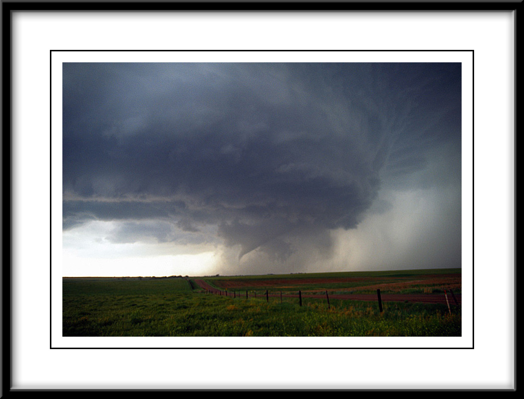
hail. However just after 4:30pm, an isolated low topped supercell developed
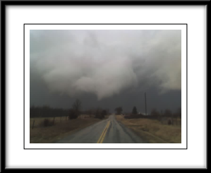
across eastern Cass Co, MO moving north-northeast. I was able to intercept
the cell as it moved across the town of Holden in Johnson, CO. After
initially driving through the small hail core, I was able to view the
well developed white tornado near Holden. Due to a malfunction to my
windshield wiper, I was unable to shoot any pictures while in the precip
region. However, during the latter stages of the tornado life cycle,
I was able to break away from all precip and snap a shot with the only
camera I had available at the time...my camera phone (image to left).
Unfortunately, there were reports of structural damage to residence
and businesses in the town of Holden. After a damage survey the next
morning...the tornado was rated an EF1 as it crossed areas to the south
and east of Holden. |