March 28th 2007 Edson/Bird City, KS
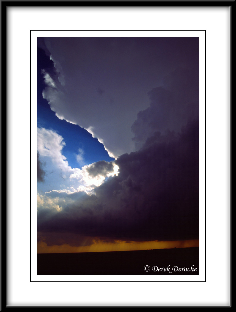
I initially departed KC around 10am with a "closer" target near GLD due to work commitments the next day. In all actuality, there was no real rhyme or reason for choosing GLD over other areas in KS/southern NE as arguments could have been made either way based on adequate ingredients. However, I wanted to keep my data feed along the interstate and finally targeted Oakley, KS. Stout Cu development occurred around 21-22z with initiation soon thereafter. I got caught up on the first SVR cell near Winona and followed it to just north of Colby missing the first tornado on the southern cell near Sharon Springs. Due to poor road networks, was forced to wait on the Sharon Springs cell until it crossed I-70 near Edson, KS where I met up with Scott B. In the meantime, I observed another cell crossing I-70 that displayed great mid-level rotation and an evident meso.
|
 |
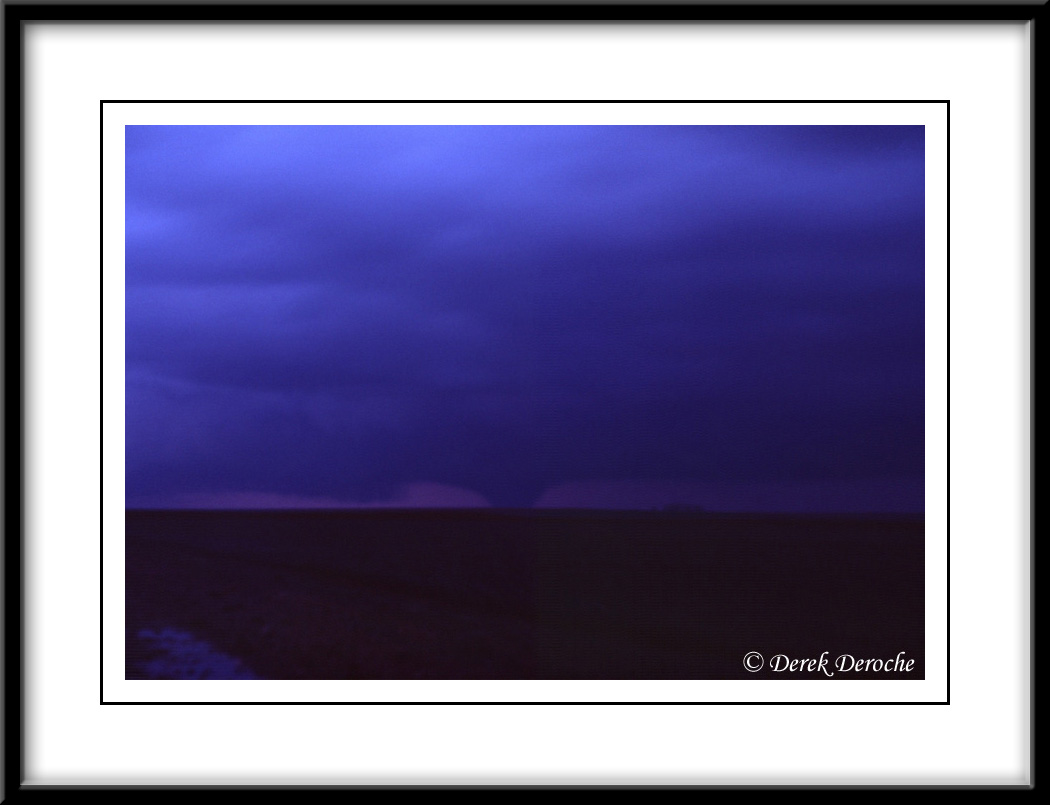
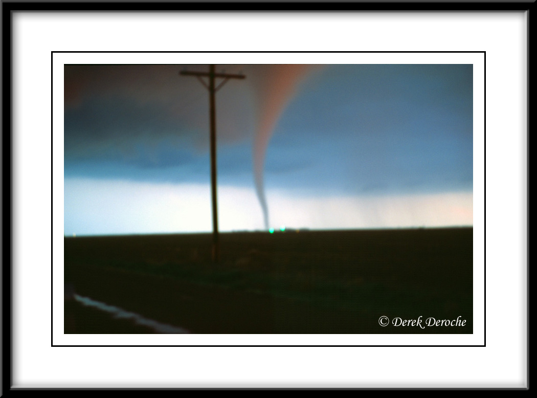
A small rope tornado breifly developed just prior to the storm crossing I-70 approximately 5 miels SSW Edson, KS at 7:49 pm.
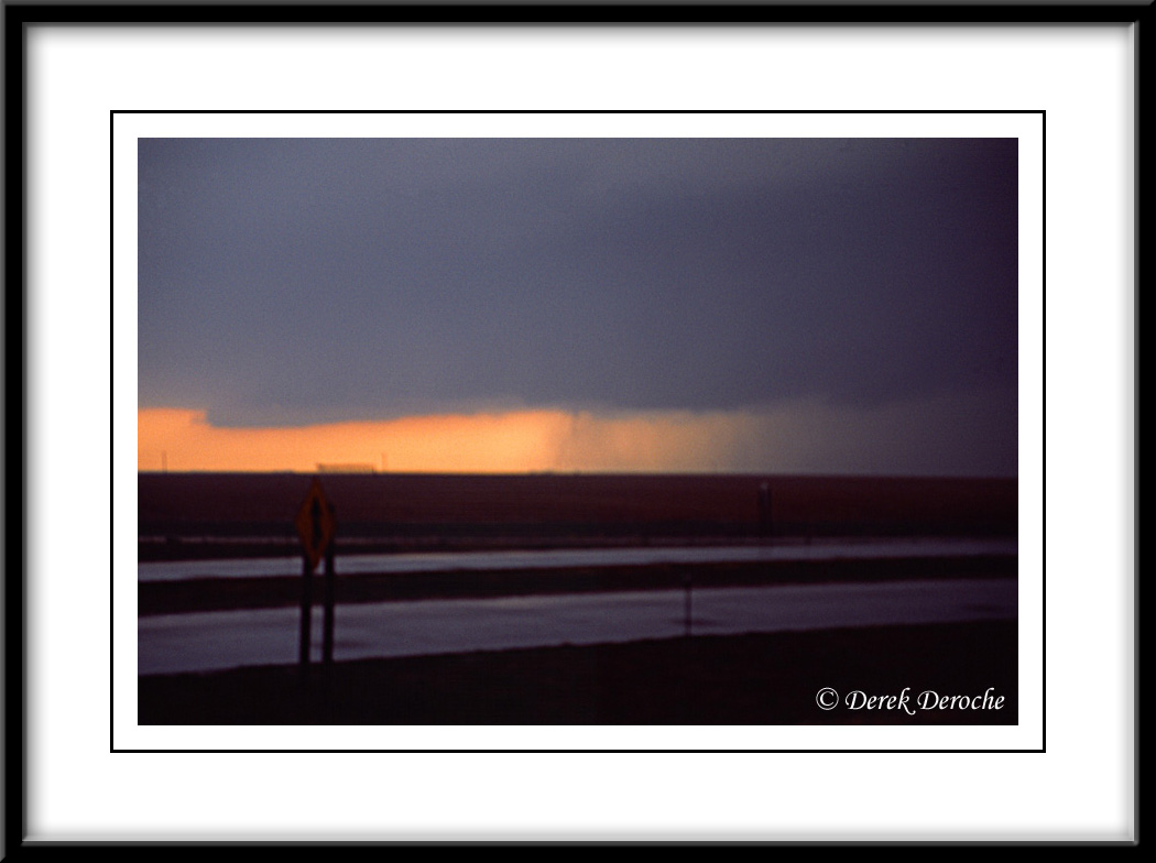
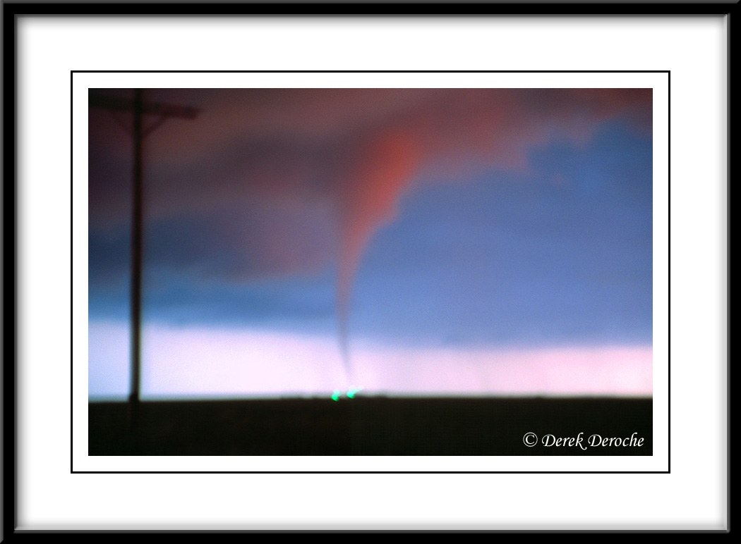
We repositioned north of Edson along a mud road to stay ahead of the supercell and around 8:08 pm, the second tornado developed approximately one mile to our south. This 5 minute long tornado glowed a brillant red as the sun lowed to the west presenting quite a show.
 |
 |
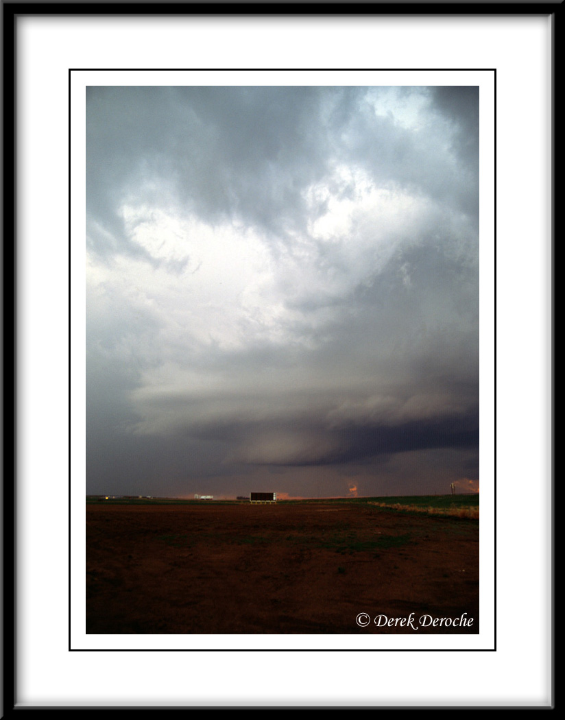
Approximately 8:30 pm, a large tornado developed about 8 miles north of Edson moving towards the town of Bird City. We observed this tornado for about 20 to 30 minutes as it transitioned to a wedge near Bird City.