Chase Accounts
2006
|
6/5 McCook,
NE |
 |
5/31 Burlinton, CO ***Chase account coming soon*** |
***Photos
Coming Soon*** |
5/30 Cheyenne, OK |
***Photos
Coming Soon*** |
5/29 Agenda, KS ***Chase account coming soon*** |
***Photos
Coming Soon*** |
5/23 Hastings, NE ***Chase account coming soon*** |
 |
5/21 St. Francis, KS ***Chase account coming soon*** |
***Photos
Coming Soon*** |
5/14 Brady, TX |
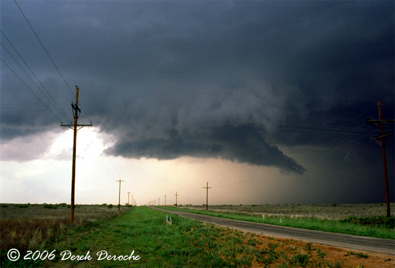 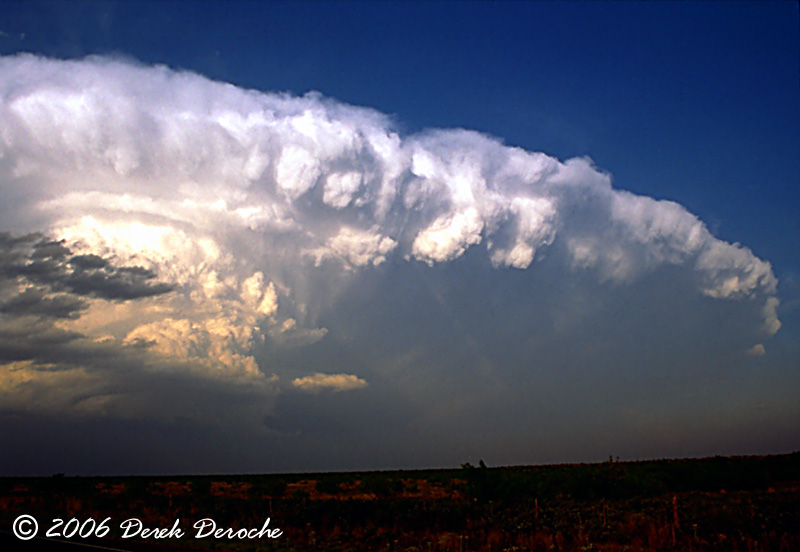 |
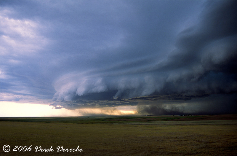
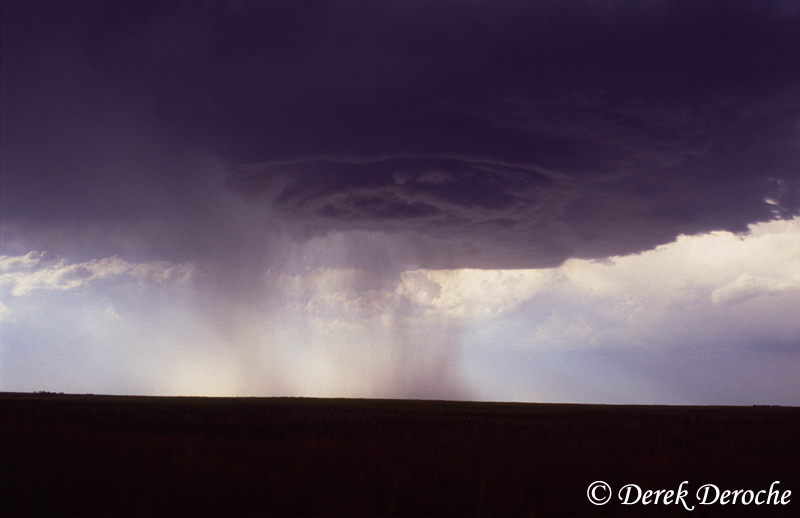
5/5 Seminole, TX Scott and Amber Overpeck and I departed SJT after looking at some last minute data with an initial target just east of Hobbs, NM. We arrived in Big Spring, TX to check data and grab a bite to eat and headed west on TX Hwy 176 towards Andrews, TX where we noticed the first storm developing near Hobbs. We decided to see if anything would fire further south along the dryline, but after seeing the Cu struggling...we decided to go after the storm to the north...now approaching Seminole. As we arrived in Seminole, we encountered golfball to softball sized hail. Fortunately, after only receiving a couple of dents, we moved east on TX Hwy 180 before dropping south. An impressive wall cloud soon developed just southeast of Seminole. The meso soon occluded and we headed south to keep up. Our road options soon ended and we were faced with the decision to risk the windshields with the softball sized hail or go around and get ahead of the storm. We decided to go around and witnesses a very impressive striated updraft along with a plethora of other visually appealing structure. We met up with the updraft towards sundown and witnessed a few final meso occlusions before we called it a day. |
|
5/4 Mertzon, TX Met up with Scott Blair in Big Spring, TX during the early afternoon. We noticed convection firing just east of SJT so decided to take a look. After deciding the best storms were out of our reach, we focused our attention to the developing convection back to our west...just east of our initial target. As we approached the developing LP supercell...we began to notice a well defined RFB and lowering. We then headed southeast along Hwy. 87 and took a south road option to stay ahead of it. As we pulled to the top of a hill, we began to observe a well defined wall cloud with RFD surge on the back side. The main meso soon occluded, so we continued south encountering quarter to golfball size hail. After breaking out of the precip, we came upon several inflow jets rushing into the new meso.Darkness soon set in and we avoided the grapefruit size hail falling out of this storm. Headed back to SJT for some well needed rest. |